What changed on Oxford Street on 26 October?
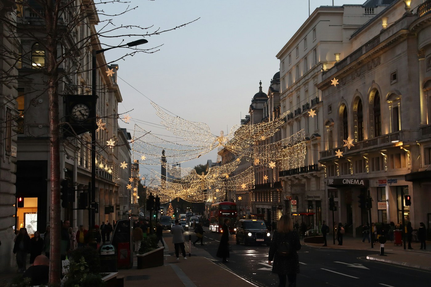
Part of Oxford Street in London became pedestrianised on Monday, 26 October 2026. The change covers almost a kilometre between Orchard Street and Great Portland Street. For visitors to the British capital, the immediate consequence is straightforward: a familiar bus, taxi or bicycle route may no longer take you to the same point on the street.
This is the first stage of a wider transformation. Removing traffic does not mean that every construction project, tree and rest area is already finished. The space will continue to change. This guide brings together the launch rules and explains how to prepare a journey without confusing the opening of the pedestrian area with the completion of the whole project.
Which section is now pedestrianised?
The section runs from Orchard Street, near the Selfridges area, to Great Portland Street, east of Oxford Circus. It does not cover all of Oxford Street. That distinction matters when arranging a meeting point, choosing a station or booking transport: two shops with the same street name in their address may have quite different practical access routes.
Before setting off, check the building number and the entrance you need. Saving only the street name in an app may direct you somewhere inconvenient. Anyone meeting friends or relatives should agree on an identifiable landmark and a backup if temporary barriers are in place. Transport for London’s area maps help locate the restricted section and the routes around it.
What are the rules for cars, buses and bicycles?
Under TfL’s official rules, the general restriction operates 24 hours a day, seven days a week. Private cars, buses, taxis, private hire vehicles, bicycles, scooters and pedicabs cannot enter the affected area. The pedestrian section should not be treated as a new cycle route, and an electrically powered vehicle is not automatically exempt from the ban.
There is a specific delivery and servicing window from midnight to 07:00, using authorised routes. This does not open the section to ordinary traffic overnight. Emergency vehicles retain access. Drivers should follow the signs on the street and the official instructions relevant to their journey, rather than entering the area because a previously saved route still passes through it.
How do you get there by public transport?
TfL has changed routes and stops. Some services now terminate at Marble Arch; others have been diverted to nearby streets. Its official works page includes updated bus and stop maps and warns that certain older maps are still being corrected. A photograph of a stop or an itinerary saved before the changes may therefore no longer be enough.
Plan the journey to your specific destination and check again on the day. If you need to change services, leave time to find the new connection. For a visit involving several shops, a walking sequence may be more comfortable than repeatedly returning to the same point. Also check service status before relying on a tight connection to a train or flight afterwards.
What should visitors with limited mobility check?
A traffic-free street can provide more space, but the whole journey includes arrival, the distance from the stop, the shop entrance and the return trip. Losing a bus route that once passed a particular door can matter to someone unable to walk far. Accessibility should therefore be assessed across the entire journey and for the individual making it.
Check working lifts, step-free entrances, resting places and where an authorised taxi can drop you on nearby streets. Consult TfL’s official taxi maps and accessibility information. Do not assume that every exit from a station provides the same solution. If you need assistance at a shop, contact it directly and agree where someone will meet you, especially during this period of adjustment.
Why is London changing Oxford Street?
The authorities’ stated intention is to make the street more welcoming, support retailers and provide space to spend time as well as move through. Online shopping and competition from other retail destinations form part of the context cited by mayor Sadiq Khan. The intervention aims to improve the experience of visiting an area that remains a significant shopping and tourism destination.
The outcome depends on more than closing a road. Cleaning, maintenance, safety, the mix of shops and ease of access all shape the experience. A family may value somewhere to sit; an employee may be more concerned about reliable transport. Assessing the transformation requires considering these needs together, without treating a vehicle-free space as an automatic guarantee of commercial success.
What construction and improvements are still planned?
The Oxford Street Development Corporation has announced trees, additional seating, rest areas, signage and two public spaces as the intervention develops. The transition stage is intended to test ideas and gather the experience of residents, businesses and accessibility groups. The published timetable anticipates a transitional scheme being in place by the end of spring 2027.
For visitors arriving now, this means that an image of the finished design is not a photograph of what is available in October. Temporary structures, localised works and route changes may be present. Check the street’s status close to your visit. If your main aim is to see the completed architectural result, follow the responsible organisation’s announcements and distinguish planned stages from improvements actually delivered.
What concerns have residents and businesses raised?
The displacement of vehicles onto surrounding streets is one concern raised in the public debate. Improving one street should not remove people living or working nearby from the assessment. For businesses, delivery arrangements, waste collection and the ability to welcome customers with different access needs also matter.
There is a difference between announced aims and results that can eventually be measured. Fewer vehicles on one stretch do not, by themselves, demonstrate less congestion across the whole area. More people strolling around do not automatically mean higher sales for every business either. Monitoring journeys, accessibility, use of the space and commercial activity will help show what adjustments are needed after the launch.
How can you plan a visit without relying on old information?
Start with the exact address and open the official area map. Then confirm your outward route, the position of your stop or station and a way home. If travelling with children, older people or someone who needs breaks, reduce unnecessary movement and agree on an easily recognised place where the group can meet again.
Cyclists should check access routes and parking outside the restricted section rather than expect to ride through it. Professional delivery drivers should use TfL’s specific guide and check the permitted hours. Official pages may change as operations are adjusted. The information here reflects the launch on 26 October; current signs, service notices and instructions take precedence when making an individual journey.
Frequently asked questions
Is all of Oxford Street traffic-free?
No. The first stage covers almost a kilometre between Orchard Street and Great Portland Street. Check the precise position of the shop or entrance you want to visit.
Can I cycle through the pedestrian area?
No. The restriction includes bicycles, scooters and pedicabs as well as motor vehicles. Check TfL’s alternative routes and the signs on the street.
Can cars drive through after midnight?
The general ban applies at all times. From midnight to 07:00, there is an exception for authorised deliveries and servicing, rather than an opening to ordinary traffic.
Do buses still stop in the same places?
Several routes and stops have changed. Use TfL’s updated maps and check on your travel day; some older maps are being replaced.
Is the transformation finished?
No. Removing traffic began a phased intervention. Further public-space improvements and a transitional scheme are scheduled by the end of spring 2027.
Where can I check accessibility and taxis?
TfL’s official works page provides stop and taxi maps. Also check step-free access, working lifts and the shop entrance relevant to your whole journey.
Sources and further reading
- Transport for London — Oxford Street area works
- Transport for London — rules and exemptions
- Transport for London — traffic-free Oxford Street project
- Oxford Street Development Corporation — transformation begins
- Oxford Street Development Corporation — traffic-free launch, 26 October
- The Standard — launch, access and future improvements
- The Standard — retailers and concerns around the change